HomeRobotic Database - Robotic platform | TERRINet
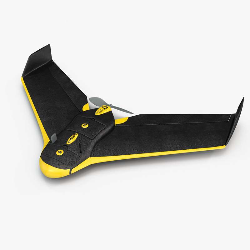
eBee drone
The senseFly’s eBee is a fully autonomous and easy-to-use mapping drone. Use it to capture high-resolution aerial photos you can transform into accurate orthomosaics (maps) & 3D models. The eBee package contains all you need to start mapping: RGB camera, batteries, radio modem and eMotion software.
Key features:
- Automatic piloting and landing
- Ultra-portable fixed-wing with a carry case
- Hand launch
Possible applications:
- Collaborative navigation of aerial and land robots
- Search and rescue missions
- Precise mapping and 3D model creation
- Agriculture
Technical specifications
| Landing: | Automatic, linear with ~5 m accuracy |
| Wingspan: | 96cm |
| Weight (incl. supplied camera & battery): | Approx. 0.69 kg |
| Radio link range: | 3 km nominal (up to 8 km) |
| Cameras (supplied): | senseFly S.O.D.A. (1” 20Mpix sensor) |
| Cruise speed: | 40-90 km/h (11-25 m/s) |
| Max. flight time: | 50 minutes |
| Wind resistance: | Up to 45 km/h (12 m/s) |
| Max. flight range: | 33 km |
Access information
| Corresponding infrastructure | École Polytechnique Fédérale de Lausanne Laboratory of Intelligent Systems |
| Location | Route Cantonale, |
| Unit of access | Working day |
Access history
LIT - Litter Identification and Tracking
Olaya Álvarez-Tuñón
The overall objective of the project would be to provide a platform for the identification and tracking of litter in the nature with the use of the eBee sensors. This will be achieved through the following intermediate objectives:
• Generation of a database: deployment of the robot on the considered areas of interest.
• Object detection: detection and identification of objects in the given area. Retrieval of shape and (GPS) location of the objects detected as litter.
• Shape measurement of the detected objects.
• Computation of high concentration areas.
The areas will be selected after performing a study of the best possible candidates (prior to the stay in the university): clear areas (not covered by vegetation), areas frequently travelled by a significant volume of people, areas of interest due to the environmental impact of litter on them (close to rivers, protected areas, etc.), and so on.
It is expected to make academic publications from the work developed in this project. The collaboration between Lausanne University and University Carlos III of Madrid could be very enriching, as they can both contribute and collaborate with their experience and workflows. Finally, this collaboration will stablish
a network between both universities, which would allow us to develop future works together, and keep working on the project even after the stay.


